Road trip: Northern CA to Bend, OR

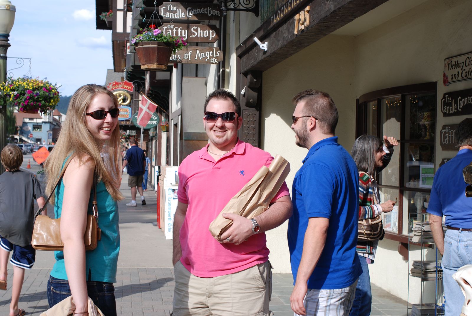
We got off to a slow start – tired after all of the fun of seeing friends for the last two days!

Far from anything approaching a city, we couldn’t help but notice all of the heavy advertising on the highway for the Olive Pit in Corning, so we stopped there on the way out of town for bagels, lattes, and to be impressed at the variety of ways that you can use olives.

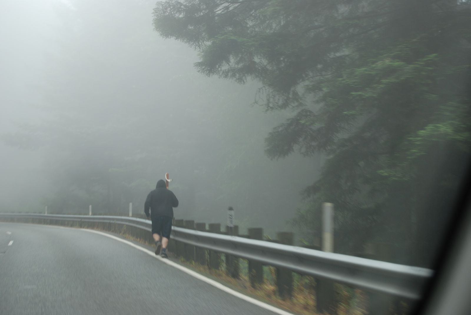
The road north was *rural*. We were back in log truck country:

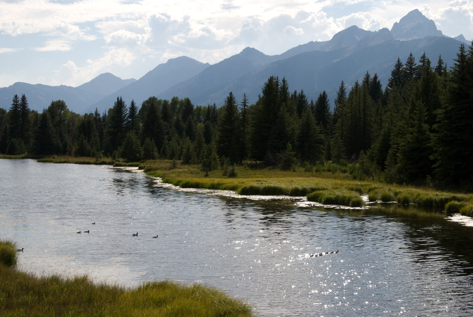
… and forest fire country, so a lot of the pictures didn’t turn out. Lake Shasta was gorgeous, and it looked like all of the party boats and house boats were having a great vacation. After Redding, we were pleased to be seeing Cascades again (before that, the mountains to the east were the tail of the Sierra Nevadas). These mystery rocks to the west were amazing:

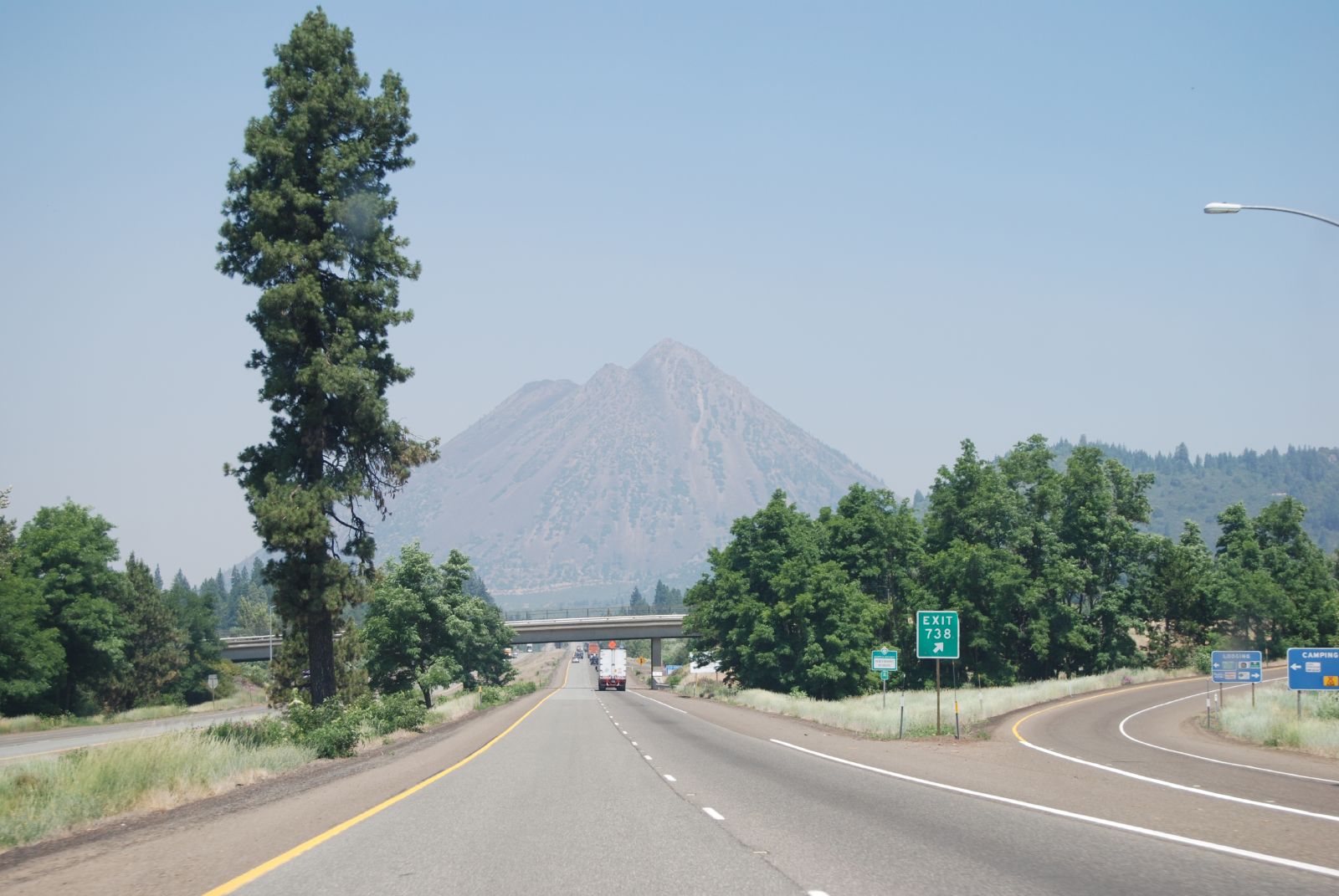
Mount Shasta is one of the huge volcanic peaks on the west coast, yet we could barely even see it due to forest fire haze. (And note trucks for scale!)

The road has views of it from the south, west and north, so we had a long time to contemplate the glaciers and how very volcanic the mountain seemed. This little volcanic nubbin (3917 ft, Black Butte Summit) was clearly related.

Once we crossed into Oregon (and got to use our neat new laminated map! An awesome gas-stop purchase!), we paused for take-out pizza in Klamath Falls. The town was pretty and lots of interesting storefronts; we could have spent much more time there. So: pizza, gas (I have to say I’m not a fan of the mandatory non-self serve), windshield and windows cleaned by me, change of drivers… and on past Klamath Lake

to Crater Lake.

I have to say that I’d been fairly vague and middling in my expectations of Crater Lake. I was expecting pretty mountain ranges, an unusual and pretty headless and water-filled volcano, tons of tourists (in the main season, there are all sorts of boat rentals and things apparently get all full of tour buses and activity), and nature despoiled for the sake of tourism. I was wrong every step of the way and loved the experience of being there.

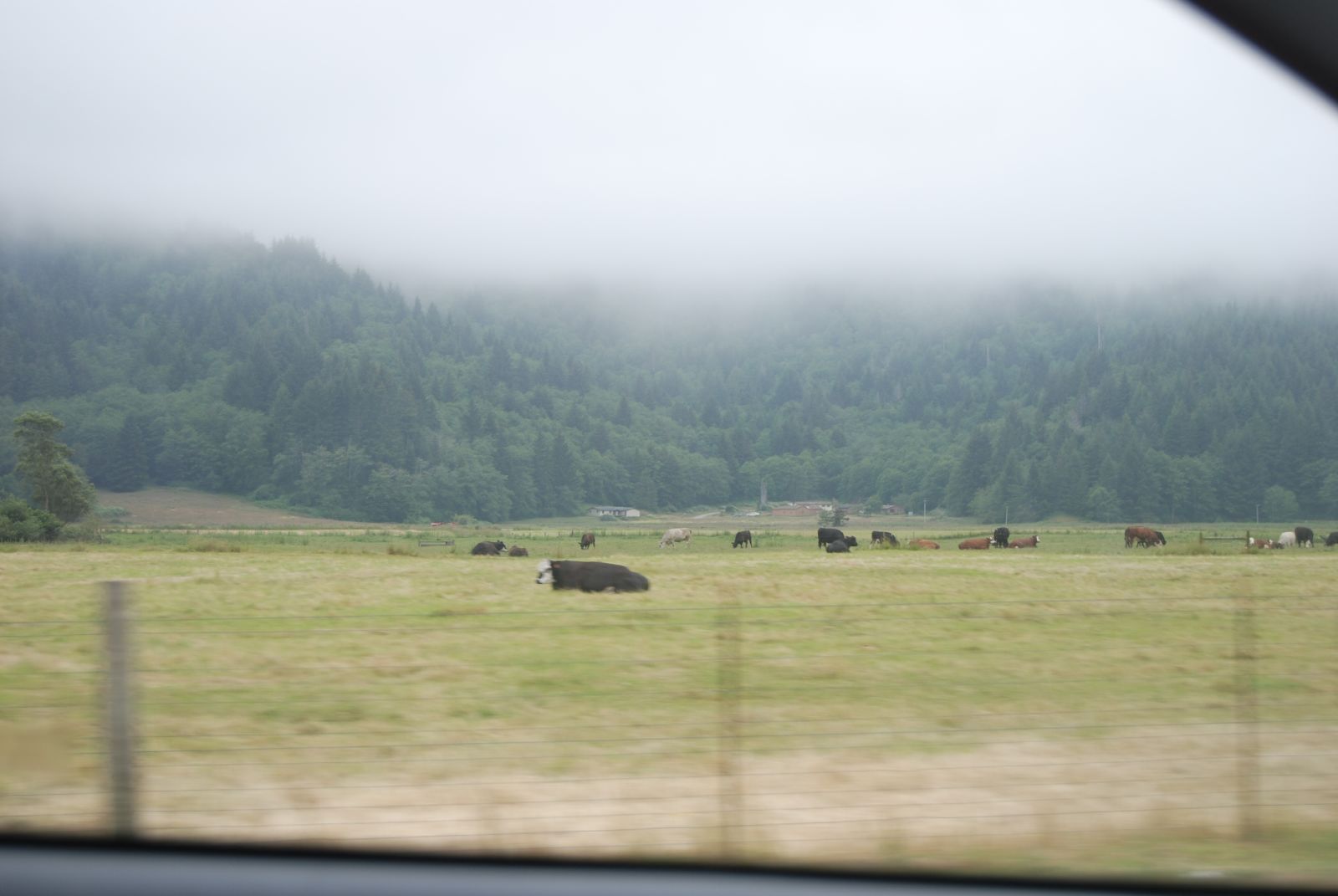
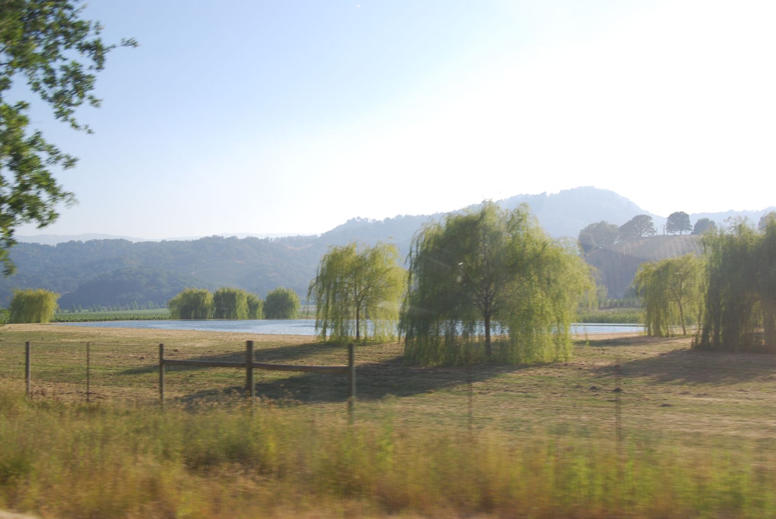
We’d been taking 97N and split off onto 62N to get to the park. It still looked like a reasonable sized road on the map, but turned out to be a meandering, wide lovely two-laned thing that curved through farm country, with 360° mountain views.

There were pulloffs all the way along with educational signs about which mountains we were seeing and how the geology had changed over the last few millennia. I’d thought this before, but after reentering the state on the way home I had an even higher level of appreciation of what a great state Oregon is to drive through – gorgeous (ocean, mountains, lakes, wildflowers , and interesting weather), great signage, the roads are taken care of, they make a point of including passing lanes, and the pullouts are constant and well-marked. I love Oregon.

We had to stop along route 62 to get out and just smell the air. Wildflowers and hay and heavenly. (And aren’t the clouds neat?)

The road curved into the park, and we tuned to the National Parks radio frequency to find out that the majority of the park (including the east rim drive and almost all of the hiking trails) were still closed for the season due to snow. Craziness! As we climbed out of the farms (along blessedly straight roads – mountain curves aren’t usually my thing), the road curved along a deep river chasm – too deep to see the river even when you looked over the edge, but the canyon walls were sculpted and impressive. More signs for elk, but we didn’t see any.

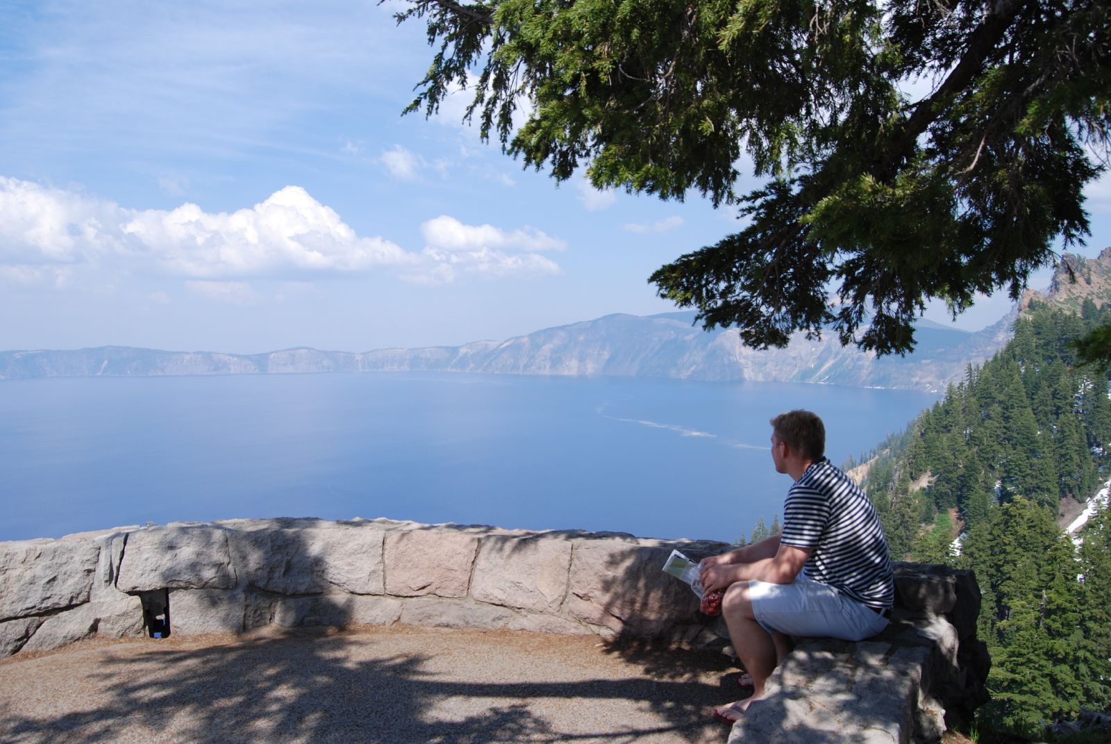
We stopped for a moment in the visitors’ center to look at maps and orient ourselves, then drove to the rim. Wow. Here was one of the first views down to the lake after we got out of the car:

That’s looking down an almost-straight snow slope, and the blue you see is the lake, not the sky. Wow.

We found a spot on a rock-wall-lined outlook to admire the lake and eat some of the CSA cherries we still had in the cooler. Something of a trend this trip – locate gorgeousness, eat fruit. 🙂

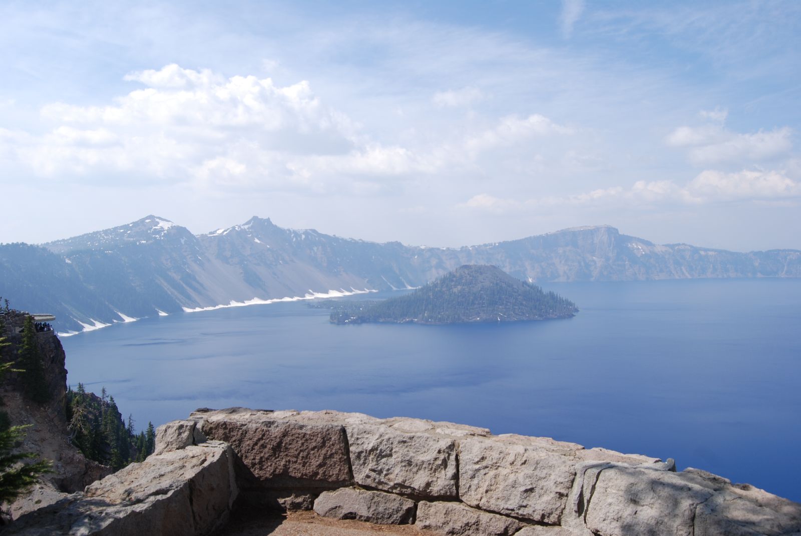
And here’s the shot of the view across the crater. Neat.

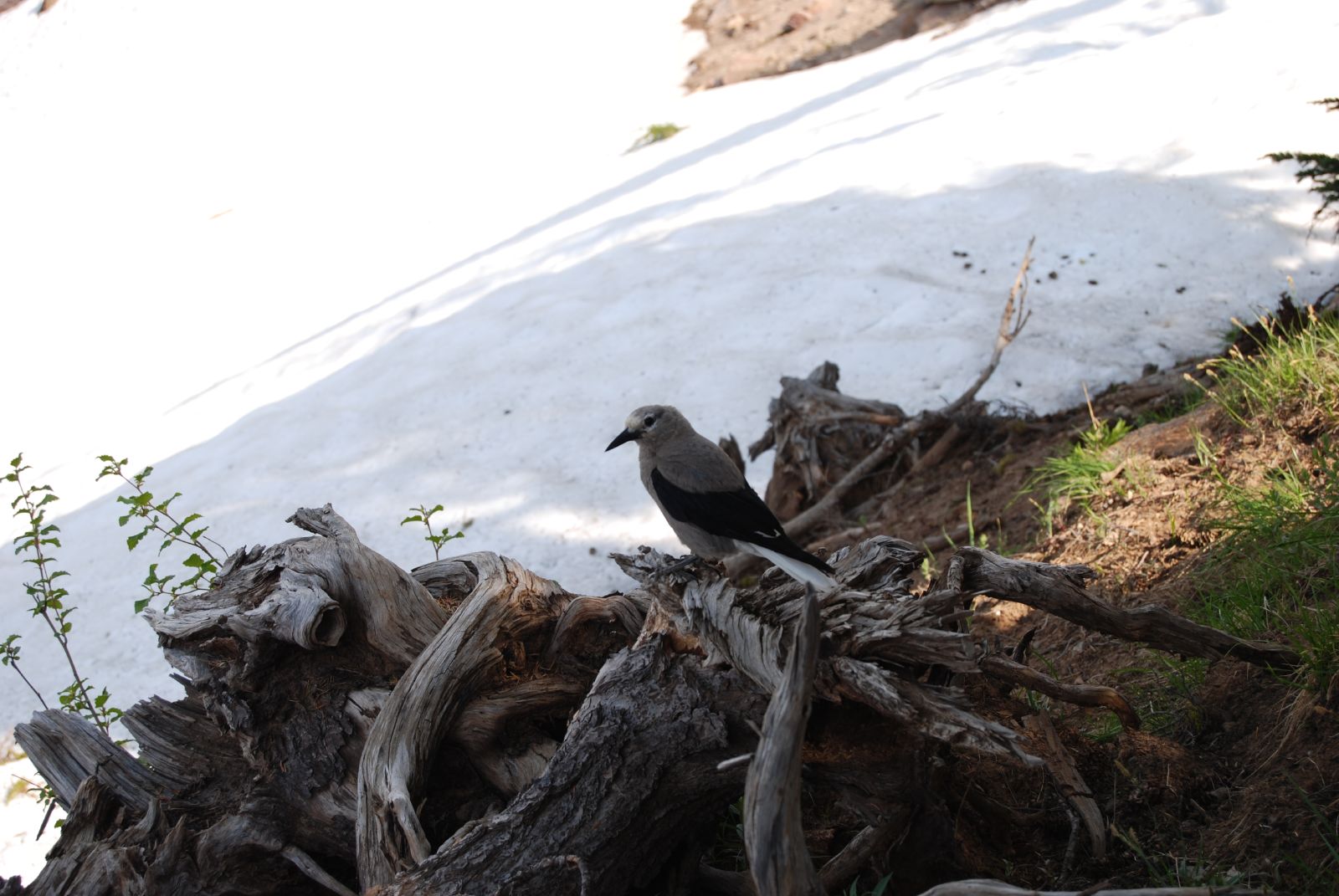
We enjoyed watching the wildlife. A fun chipmunk, and then this is a Clark’s Nutcracker – it’s about twice the size of a robin, and we saw dozens of them.

On the drive out of the north entrance of the park, we admired the snow banks:

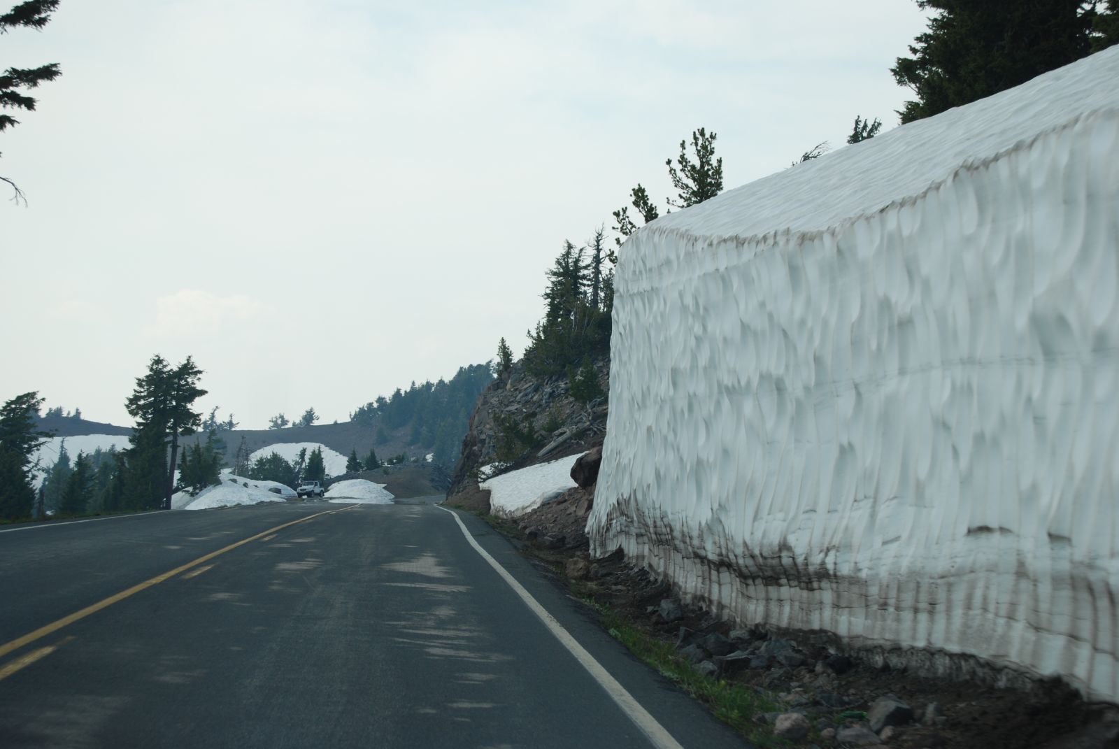
The fields of snow on either side of the car looked like they’d been scooped away by yard-long oblong chisels. The result is that they looked groomed, like snow versions of vineyards. I have to assume that the wind does this?

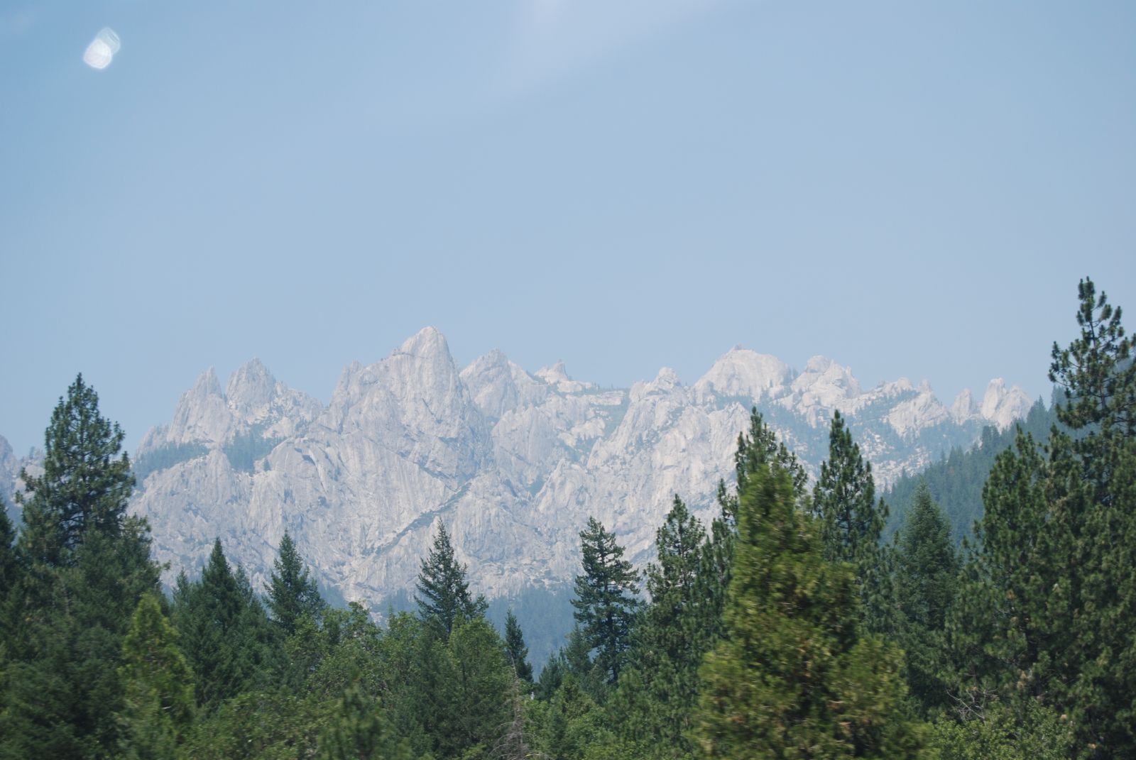
Forest fires made most of the view a haze, but we could see this volcanic specimen as we descended.

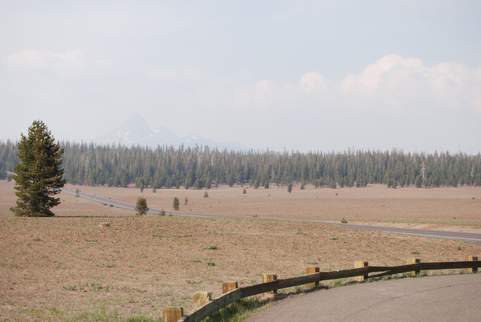
We thought it was Mount Hood when we took the photo but on further reflection and a study of the map decided it was probably Jefferson.

We arrived in Bend, OR in the late afternoon. We stayed at the McNenamin’s Old St. Francis School – a catholic school converted into a 19-room hotel, restaurant and brewery. The place was very neat, and lived up to its billing for quirkiness. We stayed in a room called “Alter boys” – here I am reading in the room reading news stories and captioned photos on the wall from its former life:

The bathroom was something else – side-by-side claw foot tubs, two showers, a sink, and a toilet stall with no door, plus quotes from the former students painted all over the walls.

We went out to find a better parking spot, then came back for dinner and beer – both were delicious. We had free admission to the movie theater but the 8:00 show didn’t appeal so we played pool instead. I’m incredibly rusty, but we had a good time anyway. A neat place to stay the night after a very full day!

Road trip: San Francisco to Sacramento to N. CA

Day 5 was another low mileage day. We started the day with Dim Sum. I’d found a place in Chinatown (the Hang Ah Tea Room) which took a bit of map-work, but once we were there we each had a dim sum combo plate. Delicious, filling and satisfying. We briefly walked around Chinatown – a lot of it was just touristy, but the buildings are great and it’s interesting to see the things advertised (both in English and in indecipherable characters), and see people walking around, and contemplate how different lives can be. We made it back to the car several minutes after the meter ran out and mere seconds before the ticket officer arrived. Here’s a rushed shot of the Chinese elementary school across the street:

Nothing like waving to the parking cop as you pull out of the space!

We found and then crossed the Bay Bridge. Neat. I’d brought a hefty ziploc bag of quarters for tolls and we did a good job using them up in San Francisco. The iPod didn’t work (there was a radio station on literally every channel – something I’ve never experienced outside of NYC) so we twiddled the radio dial on our ride to Sacramento.

The highway there was great. To begin with, amazing pink, red and white flower bushes in the divider:

Amanda and Brian told us they were oleander. Gorgeous. Also, I was driving along and getting increasingly annoyed at the slow-poke people in front of me, then realized we were all cruising along at 80!! Yay!! Seattle (land of 49 in a 55mph zone) hasn’t yet totally killed my ability to drive on highways at an advanced speed. Every now and then I have the fear that I’ll never be able to move back to the east coast because my driving’s gone soft – it was a pleasure to know that I still have what it takes. 🙂

I didn’t bring the camera into Amanda and Brian’s and I’m deeply regretting it. Their house is gorgeous (and cool! Amazing given how hot it was once we left S.F.), they looked awesome, and (1 ¾ year old) Lily has grown so much and is talking up a storm (we were treated to lots of colors, body parts, animals and their sounds, a forceful NO!, and constant updating of who was using the bathroom). We had a delicious Riesling, walked to the park, ate pizza, admired the tomato plants, pet Kitty, and then left much too soon. Being in much the same boat, we were all impressed at the house and yard renovations they’ve been working on (completed and in progress) and it was just such fun to see them again. Wish they were closer, but what a wonderful visit.

We left Sacramento around 7 pm, and drove about two hours up I5 to Corning (Olive Capital of the USA!). Amazing sunset en route:

Until it finally slipped away:

And then dusk was just as lovely:

We stayed at a perfectly functional Days Inn, watched the last half of a Harry Potter movie and then Jon Stewart, and then found ourselves exhausted and ready for bed.

Road trip: Napa to San Francisco

Day four was our shortest driving day of all – about an hour and a half. Our hotel (the Napa River Inn – relatively cheap, very unique, and highly recommended)…

… delivered a complimentary breakfast tray from the bakery next door. Yum! That’s great coffee (even though we forgot to request milk), a breakfast roll and quiche for me, and a scone and fruit and granola for Kevin:

We drove through vineyards to get to 101. I continued to love all of the enormous birds, circling about. Someday, I should buy a book about birds of prey so that I can tell all of the hawks, falcons, eagles, etc. apart. I think they’re fascinating.

We had a rush of traffic when we hit 37, including this impressive pink “do no harm” hippie bus:

but for the most part the trip was no traffic and smooth sailing. We saw a tech company amidst all the vineyards (regi-something, with a huge swooping red line and black dot as a logo) – funny. We zoomed through Marin County, and across the Golden Gate Bridge.

Pretty! Once we parked, we had about 50 minutes to find a lunch place and eat before our tour boat to Alcatraz Island departed. We speedwalked through the Fisherman’s Wharf touristery to Pompeii’s Grotto (a restaurant I’d found ahead of time and liked the sound of). By the time we got there, we had only about 35 minutes to eat (and it was a pretty sit down place with a wine list, umbrellas and outdoor tables). Our waiter was amazing, rushed our order, brought wine, and we completely relaxed and enjoyed the fresh sourdough, and delicious crab sandwiches, and chowder, and were back on the street walking to our pier after 32 minutes. How awesome.

The Alcatraz tour was incredibly interesting. The weather was unbelievable for us (warm, clear, and sunny), but the wind on that island was fierce and I was only warm with three layers on. They let you explore quite a bit, including around buildings that burned in 1970, which was very interesting. Lots of historical signs/explanations, which I enjoyed. Great views. I didn’t realize that the island was a Civil War fort before it was a military prison before it became THE maximum maximum-security prison of the US. Very interesting to hear about the layers of history. There’s an audio tour around the cells that was very well done. There was a bit of tantalizing information as well about the children and families of the wardens and guards who lived on the island. There was an ice cream parlour and bowling alley, and a boat that took the kids to school in San Francisco, and an incredibly windy area where they played games and baseball. Fascinating.

For some reason, they’re encouraging seagulls to breed on the island and turn it into a rookery. Horrible smell, obnoxious birds, but it was interesting to see what baby(ish) gulls look like:

Me on Alcatraz (wearing my pretty audiotour gadget around my neck) with the Golden Gate Bridge in the background:

Kevin on Alcatraz, with San Francisco in the background:

And the view of the island on the boat ride home:

We stayed with Kevin’s college friend Chirag (a recent transplant to the city) at his brother’s place in Pacific Heights. Neat neighbourhood! We took a meandering, hilly route through residential streets to get there (the poor Matrix was deeply unimpressed). Great touristing and house-viewing for us! We were exceptionally amused to come across a Segway tour. I didn’t have the camera ready (so excuse the rear-window shot), but they looked like nerdy ducklings wearing reflective vests, following their parent all in a line. 😀 We laughed and laughed. Up there with Kevin and the sinking kayak. 🙂

Chirag was working in NYC doing financial stuff since graduation, but he decided to leave and now he’s volunteering with Kiva, a microfinancing nonprofit located in the Mission. I was really impressed at the way that they’re run (he gave us a tour) – sending college grads as emissaries to blog about the loans, using peer pressure to make sure the loans are repaid, due diligence for the local aid societies that they work with to make sure they aren’t skimming off the top, etc. Most people start small with their lending ($25 to $100), but the recycle rate and the increase rate were great. It’s so neat to find a classmate doing something inspirational. We were both impressed.

Once he’d shown us around, Chirag took us to a crazy loft bar in the Mission that had a rooftop deck that overlooked the whole city. Wow. Wish I knew the name of it, but I forgot to check. We stayed for a drink (I finally had caipirinha, after hearing about it for ages). Then we went for dinner to a great Senegalese restaurant – great food (including cous cous!) and delicious, unusual drinks, with ingredients like hibiscus and tamarind. An awesome night, and a great host. Yay San Francisco!

Road trip: Oregon to Napa

Day three was another long driving day, as we had to drive from southeast Oregon down to Napa. We got off to a relaxed start. Our room at the Tu Tu Tun Lodge had a soaking tub on the balcony overlooking the river and they gave us a packet of herbs to put in the water, so we had a soak before breakfast. We drank our coffee (they’d brought us a tray when we woke up) and watched the river and the mist. It was cold (50s) and foggy, so the hot water followed by a thick robe felt great.

We headed down for breakfast a little after nine, and had a great time talking to the people at our table. One of the couples were retirees from New York who’d been working their way up the coast. They were full of ideas for places to stop and after breakfast loaded us up with maps and travel brochures (several of which were actually very helpful). Another was a pair in their thirties from San Francisco – the retirees thought they must be honeymooners, but Kevin and I thought dating and on the rocks? She seemed exhausted, though, so maybe it was just early in the day. Breakfast was delicious, and we dawdled over it.

We ended up checking out at 11 – a bit later than expected. We wound our way back down the Rogue River to the coast, and found that the fog was even more intense at the shore than it had been on the river.

We enjoyed the last of the Oregon “cheap” gas and neat bridges…

And then entered into California! The fog there was, if anything, even thicker, and as we entered Redwood National Park visibility got even more limited. There were people running carrying carved sticks with fringe tops all along the highway – some sort of treacherous religious ceremony?

The road was a curvy little two lane thing, up and down huge hills and overlooking steep cliffs down to the ocean, then swinging inland past enormous trees. With the fog, we could sometimes only see about 10-15 feet ahead, and the combination of car-sized tree trunks suddenly appearing, and then drop-offs into grey nothing was extremely disconcerting to me.

101 finally swung inland and the fog cleared. Kevin had been driving, and I didn’t realize how anxious the lack of visibility was making me until we were finally free of it.

We’d heard of several places that were likely to have elk and enthusiastically kept our eyes peeled, to no avail. Yet another herd of not-elk:

We didn’t stop to get out and walk until we reached the Humbolt Redwoods State Park (quite a ways down from the national park). We drove along the Avenue of the Giants (about 30 miles of amazing, huge trees), and got out to walk around about halfway down. The bark on the trees was amazing – so grooved and thick. Here’s Kevin with a very big tree:

The view looking up:

Me in the middle of a stand of huge redwoods:

And another looking up view:

Enormous forests make me happy.

We continued to drive south through the park… (We wondered how they keep the trees from overtaking the road? The difference in width between a 125-year tree and a 200 year tree is enormous, and the park is old, and cars have gotten wider. Do you think they cut trees down when they get too wide?), and then, once we were back on 101, continued through forest fire country to Geyserville. The forest fire driving was something else. Our fog from before was replaced with thick, acrid haze. My previous experience with forest fires was driving through Idaho, Montana, and Wyoming last summer. So, I’d been thinking that as long as the roads weren’t closed and I brought extra contacts, there would be minimal effect on our drive except for crazy sunsets. Not so, it turns out. The smoke and the smell were everywhere, and when we stopped for lunch in Willits there were firefighters explaining the current action plan (including which areas/buildings they didn’t plan to save, from a resources standpoint) and talking to angry and unhappy residents. We didn’t see any flames or burning from the road, but we drove through the hills of the Mendocino complex (fires set by lightning storms a few days before we arrived). Not fun.

At Geyserville, we left 101 (farewell!) for 128, and started to enter real wine country. We transitioned from curvy roads along bleached-grass mountains studded with pine trees…

To fields of grape vines, surrounded by mountains:

And pastures with trees and ponds:

None of our photos really came out, but the rows of vines are neat, curling up around hills and making them look well-coifed. We got to Sonoma around 7:00, and then Napa Valley, so were too late for any tastings, but we had lots of fun passing judgment on the names of the wineries we passed and once we were in Napa, on the architecture and accessories of the tasting rooms and buildings. It was a pretty engrossing game, since you get a new winery at least every quarter mile. (We were amused, later at our hotel, to see how accurate our name-judging was as an indicator of wine quality – according to our hotel room’s Napa guidebook we were on the money. 🙂 Nice.)

We stayed in Napa (the town). We arrived at 8:18 – just enough time to check in, throw on new clothes, and walk to our 8:30 dinner reservation at Celadon. Dinner was amazing. We had great cocktails while we were decompressing from the drive and deciding on our orders, and then had a bottle of the Honig Sauvignon Blanc (yummy, pretty label). I had an endive salad with pears, walnuts and blue cheese; Kevin discovered heirloom tomatoes and fresh mozzarella. Yum. Duck for Kevin, pasta for me, a split sorbet – happiness all around, and a great nearly-three-hour dinner with fun conversation and an attractive setting to end the day.

Road Trip: Oregon Coast

Waking up this morning was amazing – we’d left a window cracked despite the chill (50s) and blowing spray, and so there was bright, light blue surf to listen to and to see. The color is fascinating. Light sand beaches (especially compared to the dark volcanic sand we saw later in the day), accented with medium blue water that had pine green shadows and turquoise crests. I could have watched it all day.

We went to the Beach Dog Café for breakfast. Delicious and wonderful. We realized when we walked in that they only accepted cash, so I had the unique experience of going to a bar at 10 am (to use the ATM). The regulars were amused.

Then, back down 101. We made a habit of pulling out whenever the whim struck for views. Here’s Seal Rock, which amazingly lived up to its name with actual seals!

Here’s Kevin overlooking Devil’s Churn (a weak spot in the shoreline rock that has been worn away by the sea and now puts on quite the show with each wave):

The drive was amazing – lots of fog over the ocean, and when we reached a break in the trees, you’d just see it gusting over the road. Pictures didn’t come out (probably because the speed the fog blew at was as amazing as its thickness), but it was an impressive sight.

We also continued to enjoy the great bridges along 101 in Oregon. Each of them had a different pair of concrete markers at the ends – interesting variation. And there were pretty metal bridges along the route as well. I loved the arches in this one.

We stopped at Haceta Lighthouse to get out and walk around. It’s an amazing place in a lot of ways – the view, the fact that for the first few decades it was a 5-7 hour trip away from supplies/news/civilization over mountains and beaches (can you imagine?), the number of times per day the kerosene wick needed to be tended to or the glass cleaned, the fact that they figured out a way to amplify light to a point that only the curvature of the earth limited it… more details here. All amazing, though given the fog Kevin and I were a bit skeptical about the curvature of the earth claim. For example, the hills across the way were only occasionally discernable…

The lightkeepers’ house was exceptionally lovely. (And you can see one of the 101 bridges in the background.)

But again, how isolated! There were the prettiest stained glass panes in the front doors – I wonder if that would have been a consolation, arriving as a lighthouse keepers wife, out so far away, for so long? I grew up with so many books that lauded “our pioneer ancestors”, but this was impressive proof of the stuff people were made of…

A view of the lighthouse from further down the shore:

Less than a mile down the road, we stopped at the Sea Lion Caves. A *treat*. The cave is a natural part of the shoreline, where there are all sorts of sea lions lounging about and arguing over space on the rocks. In the ’50s, people carved an elevator shaft in the rock to bring you down to cave level, so that you could see the sea lions in their habitat. Very fun. The bulls, especially, were quite loud, and the cave made their roars echo.

Outside the caves, there were harems of sea lions – apparently it’s mating season and the bulls spend all of their time jockeying for turf with other males, and rounding up the females to keep them in the group.

Me, overlooking the ocean and the awesome sea lions.

The foliage continues to be interesting. We’ve been seeing these all along the way in Oregon – my guess is that they’re foxgloves?

Kevin was impressed once we got to the dunes, because we kept seeing a light green/dark green/golden combination of roadside plants that he thought must be the basis for one of the colleges’ football uniforms, and before he’d just thought the color was bizarre.

After those stops, we made as straight a line as possible for our stop for the night, the Tu Tu Tun Lodge. It was a few miles inland along the Rogue River. Lovely, tranquil, and shrouded in mist. There were deer in the apple orchards, appetizers when we arrived, and wood ready to be lit in the fireplace in our room when we arrived. Luxury. We got in just before seven, and decided to take a tour down the river in the kayaks.
We’d brought our own lifejackets, chose paddles and headed for the shore. Kevin (living up to his reputation) managed, after much deliberation, to choose the only kayak on the beach with a hole in it. As he paddled upriver, I kept getting more annoyed with his insistence that he was getting *lower* in the water. Kevin kept getting wetter, and I kept thinking unhelpful thoughts like, “kayaks ARE low in the water, by definition.” Luckily we were close to shore when he decided his boat was truly sinking. We landed on a gravel beach, spent five or so minutes draining all of the water out, and he half dragged, half paddled it back to exchange it for a new version. I’d noticed, meantime, that my boat was plugged with a wine cork, and so decided to trade in for another model, too. 🙂 After that, we paddled up river and saw three families of wood ducks & ducklings, and one enormous splash. (Not sure what caused it, but it completely spooked me, as it was only feet away from my boat. Maybe a monster fish??). Kevin went to investigate, and got startled by a second splash, but also wasn’t sure what caused it. Intriguing. Once we paddled back, we felt like we’d earned an evening in front of the fire, reading the paper and supping on sandwiches from the deli down the street. Relaxing and happy.

PS. I finally figured out how to link directly to big versions of the photos — if you click on the photos, it will take you to a big version instead of the flickr photo page! 🙂

Road trip: Washington and Oregon

The summer we met, Kevin took a road trip down the coast to San Francisco. Since then, I’ve been wanting to see all the sights along 101. We also have friends to visit in San Francisco and Sacramento. So, today we started our own Washington, Oregon and California road trip.

We were pleased at ourselves for leaving before 10:00, but then realized that we hadn’t turned on the fan for the fishtank (and Seattle’s supposed to break 90 this weekend). Oops. So, one circle back, and we left for real around 10:30. Our route was 405 to 5 down to Olympia, then a meander through amazing countryside (and lots of logging) to Grays Harbor. We stopped for lunch at a deli & ice cream shop in Hoquiam – yummy food and they were playing great oldies. Grays Harbor was interesting – clearly older buildings, with some gorgeous and detailed exteriors, but somewhat falling apart now. I’m curious where it got its money (ports? lumber?) and when it was at its peak, and what happened. I’ll have to find a book once we’re back. We picked up 101 in Aberdeen and drove south through lumber country to the bottom of Washington. Occasional amazing views of the Olympics and Rainier through breaks in the pines. We were amused, as always, as we got closer to the coast and started seeing Lewis and Clark names about – they didn’t have much positive to say about the southeastern tip of Washington. By the time we saw the sign for (beautiful, picturesque) Dismal Nitch, we both burst out laughing. Our view from Dismal Nitch across the Columbia River was sensational. Deep fog on the opposite shore, then layers of hills above it, and Rainier off to the side. And, in the current day and age, the bridge to Astoria is impressive. Can you see the two huge tankers shrouded in the mist?

(As always, click on the picture to get a link to bigger versions.)

In Oregon, we continued down 101 to Ecola State Park. We wound through huge, lush pine forests, and emerged into a huge park up on a hill with amazing views overlooking the Pacific Ocean. Looking south towards Cannon Beach and Haystack Rock:

And towards Tillamook Lighthouse, offshore (you should really read this history of it – add offshore lighthouse builder and keeper to the list of jobs that I’m glad I don’t have!):

We spread out a blanket for a picnic feast of cherries, enjoyed the view and watched a wedding in the park. Amazing spot!

We stopped again just down the road in Cannon Beach to go for about an hour walk down the shoreline. Even at five, there were still many people out enjoying the day. Lots of families, lots of very happy dogs, just about perfect.

The tide was still pretty high, so we didn’t get to see the tide pools. Oh well. One of these trips it will work out. The sand was perfect, and it was fun to look at the big houses up on the hills along the beach – it would be a fun place to come back to.

We stopped for dinner an hour down the road at the Tillamook cheese headquarters. Crowded, but we enjoyed the free sample cheese curds, had a yummy burger and sandwich, respectively, and then got ice cream cones for the way out. Yum. Back on the road, the views continued to be amazing. The road kept ascending the cliffs along the shore, and you’d wend along with decreasing ocean views for twenty minutes and then get a series of views like this one through breaks in the trees before descending into the towns below. Gorgeous.

Our hotel was in Lincoln City – one of the first places I found south of Seaside that didn’t have 2-night minimum stays. I was a little bit apprehensive about it (it was right on the ocean but cost $89/night, and most places I’d found up the coast were in the $150 and way up category), but it turned out to be a gem. Comfy bed, clean bath, and this view from our room’s huge window when we arrived:

This was one of our longest driving days (9+ hours and 375 miles). It was good to fall asleep. What a treat of travel though – I love seeing the new places.

24 hours in Leavenworth, WA

We went to Leavenworth, WA this weekend for a spur-of-the-moment 24 hour overnight. – Larry, who is turning into quite the summer trip planner, had a friend visiting from Boston, and so we went out to Leavenworth with them, Shawn and Sanna for wine tasting and the scenery.

It was about a 2.5 hour drive out. The first 40 minutes are sprawl, then farmland (with lots of alpacas and horses), and then you hit the mountains. The Cascades on the drives in and out were amazing. The snow is finally melting in earnest after a very late spring, so we rarely went a quarter mile without seeing a waterfall. The 2-lane highway runs next to railroads and a glacier stream (lots of rapids), and I can never get over that grey-green glacier water — it’s amazing.

(Excuse the photos taken from a 65 mph car!) The pass was amazing with mountains leaping up on all sides.

All of the trees were barely beginning to bud (almost two months behind Seattle) and I loved all of the 1800s town and viewpoint names: Startup, Deception Falls, GoldBar. All of it was particularly striking after an early summer weekend in Providence – all of the west coast settling is almost painfully recent to me, and the outdoors exist on such a larger, wilder scale.

No photos of the pass on the way home — there was extremely heavy fog, and we had about 15 feet of visibility. Creepy and daunting.

Leavenworth was something else – even the Bank of America had balconies with carved hearts and tulips, and lovely murals. Kevin and I were enjoying the Ye Olde Starbucks, Ye Olde Jiffy Lube, Ye Olde MacDonalds, etc. 🙂 Apparently the town was struggling in the 60’s and decided to convert all of the architecture to model a Bavarian village theme. I talked for while with the manager of the restaurant we had dinner at, and she said that they had a Memorial Day festival, rest the week after, and then have about a festival a week all the way until the nonstop December festival (they have a very large nutcracker museum in town). Sounds exhausting, but she said it does good things for the town.

We started by going wine tasting at an estate in Peshastin (Icycle Ridge). It was quite impressive. Apparently, it’s a family operation, and they ended up converting the lodge house that the patriarch built in the eighties into a tasting room and event center. Here you can see the enormous stone fireplace and some of the animals that adorned the place.

(I wouldn’t exactly label myself a hunting afficianado, but there’s something majestic about a bull elk’s head that’s as big as you are, even if it’s stuffed.)

His son in law manages all of the wine making — he spent an hour and a half dropping in on our tasting and then showing us around their cellar. Very fun. They don’t sell the wines in stores, so if you want them, you have to join the wine club and receive them by mail or go to their tasting rooms. We also went to Kestral – I’m not a fan at all of the labels, but the wines are awesome. Here’s Larry, in his own shirt and shades, plus a borrowed “wine diva” hat, enjoying the cocoa-crusted almonds that were given with the Cabernet Sauvignon (I think?) at Kestral.

And, here’s Michelle, Larry and Shawn with the post-tasting haul.

Then, we went back to our hotel to check in and drop off bags, then went tasting down the main street of town for the rest of the afternoon. We ate dinner at Visconti’s (quite yummy Italian food, a little fancy, and awesome rooftop seats with heat lamps nearby) – a great meal.

Longest Post Ever: the Wyoming Roadtrip

Oops! It’s been almost a week since we got back from Wyoming, and still no post about it! We took a LOT of pictures, and even once we pared the keepers down to 101, that’s still too many for a blog post. So, the full flickr set is here, and here are some of the highlights:

It’s about a fifteen hour drive to Jackson, and people had early evening activities on Thursday. We decided to drive out to Spokane (about 5 hours) on Thursday night. The boys had too much fun gearing the walkietalkies to the same channel, and then we were on our way. The stars were amazing once we got out past the Cascades. Perfect Milky Way views out the passenger window of the mustang.

The next morning, we drove across the top of Idaho on I-90, past Coeur d’Alene, endless crossings of the Clark Fork, a ton of old silver mining towns, and a log truck that had spilled its cargo all across the highway. The views were gorgeous, but some of the winding mountain roads were daunting.

Once in Montana, we split off down I-15 just before Butte, which crosses back into Idaho, where we turned onto a series of smaller state routes to get through Targhee National Forest and into Wyoming.

It amazed me how much of the trip consisted of highway winding along next to the river and the railway line. Put the small farms in, with the hills rising to mountain ranges on either side, and the image solidifies.

(click

The Idaho-Montana-Idaho portion of the drive was a treat to me. Can you even imagine living with those colors on a daily basis? The photos aren’t saturated enough — the real-life view is deeply vibrant. Growing up, I always found Massachusetts beautiful. And then when I moved to Seattle, I couldn’t get over how green it was. (And *how many* greens it was.) This was a color explosion to the next level.

In Wyoming, once we made it over that huge pass, we stayed at one of Kevin’s coworker’s parents’ house. We saw the Secret Service in their SUVs. (Cheney was just down the road — in town for the opening of a new welcome center in Grand Teton National Park.) Steve’s mom is a quilter, and a knitter, so we had a lot to talk about and I learned a lot.

On Saturday, we went to the southern portion of Grand Teton National park and walked along the Snake river for a few hours. The mountains were amazing –they inspire such wonder at was required to raise them.

After we walked a good ways along the river, the trail petered out and we started just exploring. The signs of buffalo were everywhere — a fact I found quite thrilling although we didn’t see any in person.

We found another three kinds of animal droppings, which was neat, and Kevin came across a splinter of a LARGE bone.

I know that Montana is supposed to be the Big Sky headquarters, but this wasn’t far off.

One of my favourite parts of that walk was that there were lots of duck families on the river — always a treat. Also, in the next picture, you can see the layering of mountains — the ridges cascaded away in succession — so lovely.

Here’s one last photo of the day, with me changing out of hiking boots in Kevin’s car.

We went to a rodeo, which I’ll spare you the photos of — you can tell that I’ve been raised in the suburbs, since I found all the chasing of calves alarming and depressing.

I’m not a dying yarn person, but don’t these colors make you want to DO something?

This was on a 5 mile hike we did on Sunday. Better yet, there was a bold little chipmunk chirping at me while I was taking this photo, and a zillion grasshoppers (or similar??) flying around clicking with their yellow wings.

The ride home was a bit long — we did all 15 hours in one day, but I don’t really recommend the 84 route through Oregon — it’s straight and not as interesting as we were hoping. We had books on tape and the iPod, which helped, but it wasn’t the sort of driving where you wonder what will be around the next turn. We were sort of amazed how congested traffic became as we crossed the midline of Washington — not because there was so many cars, but because people stopped honoring the passing lane concept and just cruised along in their favourite lane at 55, regardless. At least the Cascades were gorgeous in twilight. We made it back by about 8:30.